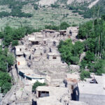
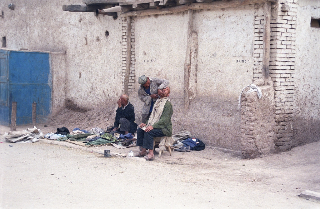
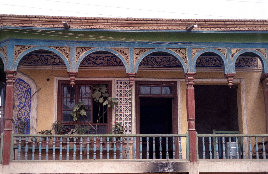
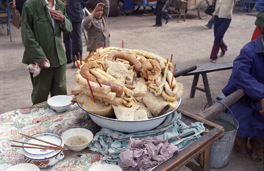
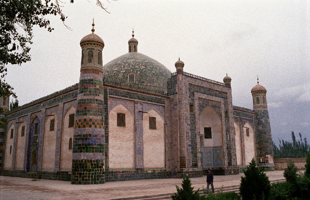
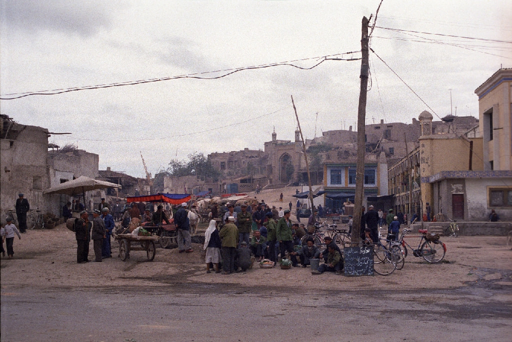
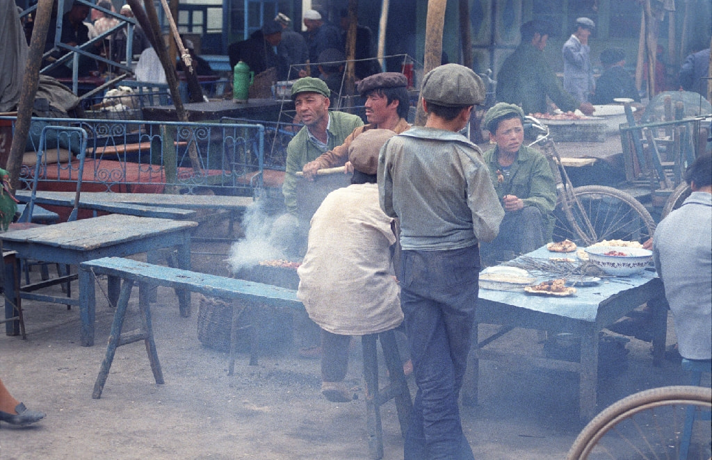
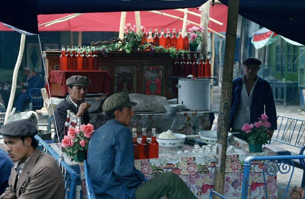
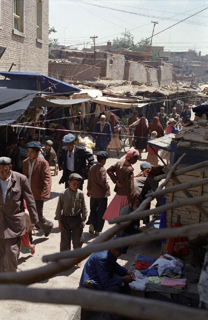
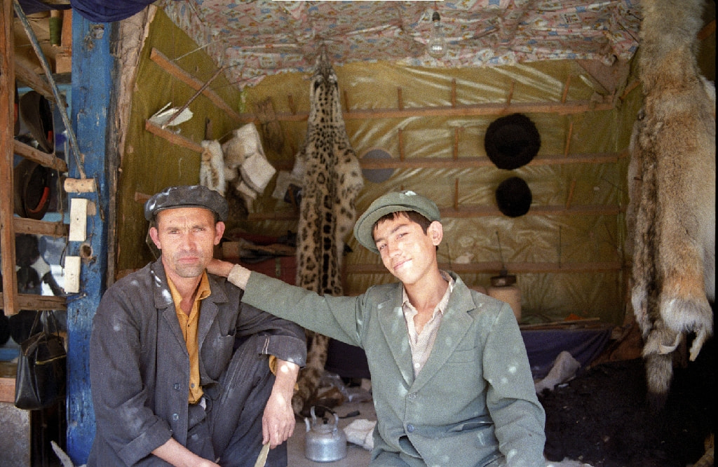
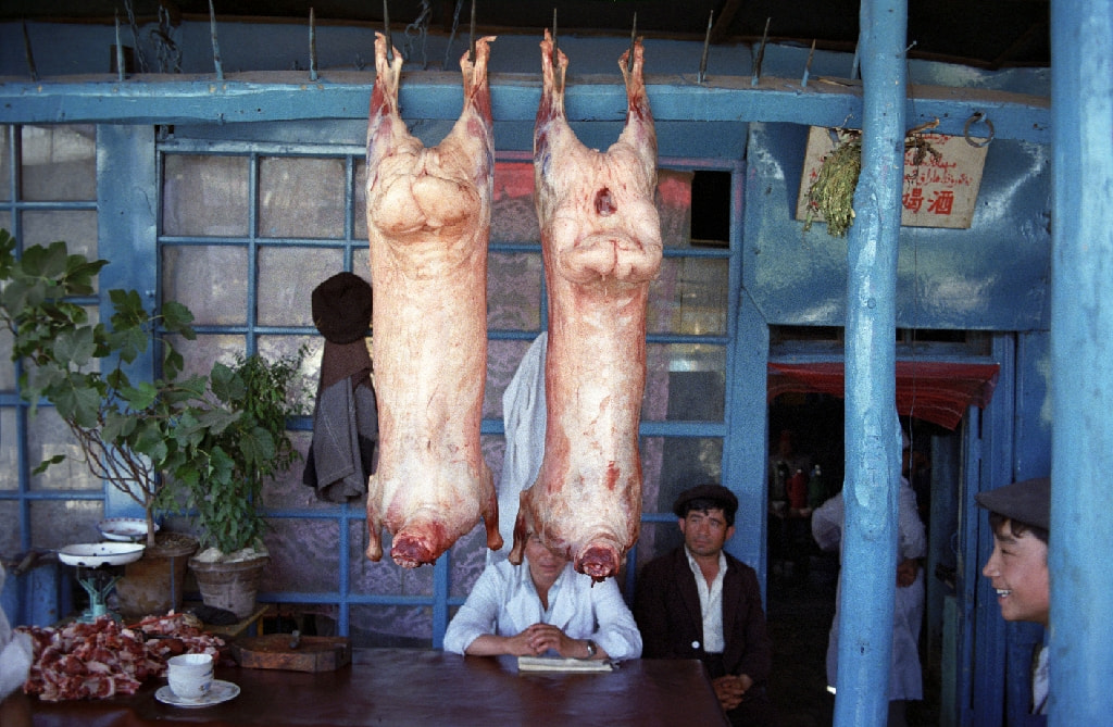
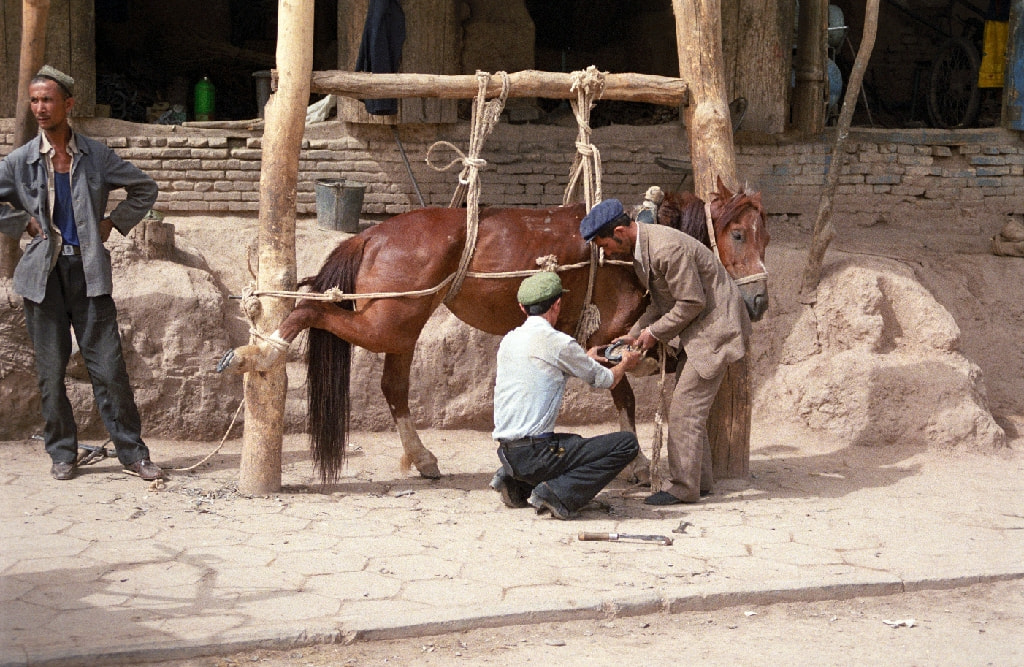
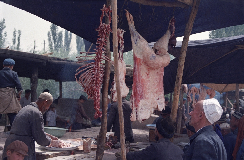
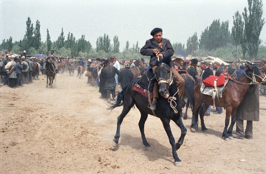
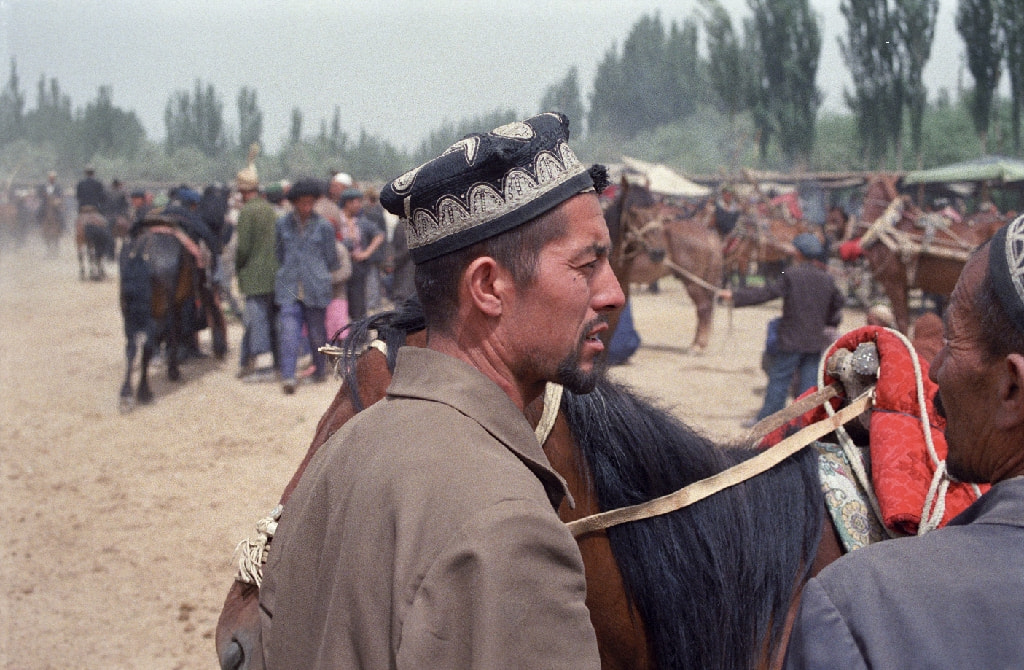
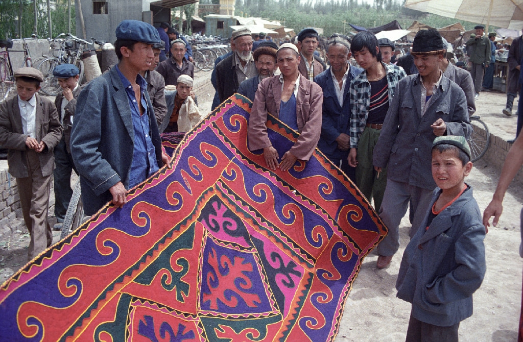
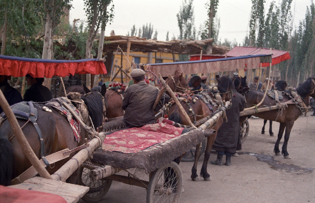
Kashgar, China
Sust to Kashgar
Crossing the Karakoram mountains into China, the Karakoram Highway is a major engineering achievement. In 1987, much of the journey from the Pakistan border to Kashgar, an oasis in the Takla Makan desert, was over the dirt tracks, through rivers and over boulder-strewn stretches of the desert – often in sight of the highway construction project.
The Karakoram Highway (KKH) is a high-altitude road that connects Pakistan and China. It is one of the highest paved international roads in the world, traversing through the Karakoram Range, which is part of the greater Himalayas, the Hindu Kush, and the Pamir Mountains. The highway is an important geopolitical and economic corridor, serving as a key trade route between the two countries.
Key features and information about the Karakoram Highway include:
Route and Distance: The Karakoram Highway starts from Hasan Abdal in Pakistan and ends in Kashgar in the Xinjiang region of China. The total length of the highway is approximately 1,300 kilometers (800 miles).
Altitude: The highway reaches extremely high altitudes, with some portions exceeding 4,500 meters (14,800 feet) above sea level. The Khunjerab Pass, which is the highest point on the highway, sits at an elevation of about 4,693 meters (15,397 feet).
Construction: The construction of the Karakoram Highway began in the 1960s and was completed in 1979. The project was a joint effort between Pakistan and China.
Strategic Importance: The Karakoram Highway has strategic importance for both Pakistan and China. It serves as a key trade route, facilitating the movement of goods between the two countries. It also has significance for military and geopolitical reasons.
Khunjerab Pass: This is the highest paved international border crossing in the world, located at the northern end of the highway on the Pakistan-China border. The pass is open seasonally, typically from May to November, due to heavy snowfall in the winter.
Scenic Beauty: The Karakoram Highway is known for its stunning and varied landscapes, including mountains, valleys, and rivers. The journey offers breathtaking views of some of the world’s highest peaks, including K2, the second-highest mountain on Earth.
Challenges: The construction and maintenance of the Karakoram Highway present numerous challenges due to its high altitude, harsh weather conditions, and the seismic activity in the region.
CPEC (China-Pakistan Economic Corridor): The Karakoram Highway is a crucial component of the China-Pakistan Economic Corridor, a major infrastructure project that aims to connect Gwadar Port in southwestern Pakistan to China’s northwestern region, providing China with a shorter and more secure trade route.
The Karakoram Highway not only serves as a vital transportation link but also stands as a testament to the engineering challenges and international collaboration involved in its construction.
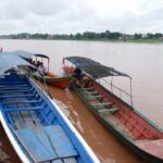
This was the start of a journey that stretched across China. My route took me by bus from Kashgar to Korla, a small industrial town where I might have been the first foreigner to visit for a long time. I gathered a small crowd of two hundred people who followed me as I explored the town. They were very polite and almost silent. It was a very odd experience. Ducking into a cafe, I found a table and ordered a beer and a good meal. Dunhuang was next stop on my long journey across China.


Add the diluted tomato puree and the seeds from the 8 cardamom
pods.